
This article was produced from extracts of Coventry’s Waterway, A City Amenity, by Coventry Canal Society, Revised 1984.
The Coventry Canal was a vital link in James Brindley’s Grand Cross plan, showing canals linking the Rivers Mersey, Trent, Severn and Thames. Its route through the Warwickshire coalfields, the granite quarry areas of Hartshill and its junctions with five other canals, made it one of the prosperous waterways. Its engineering features were few, needing thirteen locks in 38 miles, which was well below the average of one per mile. It had one tunnel (since opened out) and two aqueducts, so maintenance costs were low.
The route takes it from Coventry to Longford where it joins the Oxford Canal, through the coal area to Bedworth, the junction with the Ashby de la Zouch canal, skirting Nuneaton, into the quarries of Hartshill and Mancetter to Atherstone, where it descends eleven locks into the valley of the River Anker, then the coal bearing areas of Baddesley, Grendon, Polesworth and Glascote, where there are two more locks. Near Tamworth the River Tame is crossed by a three-arched brick and stone aqueduct and then at Fazeley, on the Watling Street a junction is made with the Birmingham and Fazeley Canal. The next 5 ½ miles, partly along the Tame Valley and through the village of Hopwas, the canal is part of the Birmingham Canal system until at Whittington Brook the detached portion of the Coventry Canal is reached. At Huddlesford, near Lichfield, there is a junction with the partly derelict Wyrley and Essington Canal, while a few miles later the canal terminates with a junction at Fradley with the Trent and Mersey Canal.
James Brindley was elected engineer and surveyor at a salary of £150 per annum. A statue to him stands in the centre of Bishop Street Basin.

The canal construction began in 1768 near Longford and proceeded in both directions. By 10th August 1769, after about 15 months work, the Coventry Mercury reported “two boats laden with coal were brought to this City from this side of Bedworth. Being the first ones, they were received with loud cheers by a number of people who had assembled to witness their arrival.”
Mercia Canoe Club celebrated the 250th anniversary of this event with a group photo under bridge 1 on Saturday 10th August 2019.
The Oxford Canal Company abandoned their idea of an end on junction at Gosford Green and were seeking one near Bedworth. Brindley was engineer also to the Oxford Company. The plans would deprive the Coventry Canal Co of several miles of tolls and with growing resentment Brindley was dismissed in September 1769. This is the background that led for a period to parallel canals around Longford. Some of the 21-man committee of the company are commemorated with street names such as Gulson Road, Freeman Street, Clay Lane and Awson Street.
Local industrialists on the Committee ensured preferential treatment for boats, mainly carrying coal, approaching Coventry. Boats heading north had to give “free passage to the respective boats navigated towards Coventry” otherwise they would be fined 5/-. Boats had to be unloaded at Bishop Street Basin within 4 hours otherwise they would also be fined at an hourly rate.
The canal was opened to Nuneaton by June 1771 and six months later to Atherstone. After a ten- or eleven-year interval, canal construction resumed. The whole line of the canal was completed in July 1790. A reservoir was built at Mancetter due to the increased boat traffic. The need to conserve water led to the building of side ponds at Atherstone Locks between 1814 to 1820. Canal basins that served collieries were also constructed at Hawkesbury and elsewhere in 1823. Hartshill was the maintenance depot.
Besides the usual cargo of coal, in 1821 the 3rd Battalion Grenadier Guards came in boats from London.
John Sinclair a pupil of Telford, supervised the erection of a second-hand Newcomen steam engine at Hawkesbury which was named “Lady Godiva”. This was to pump water from a well up into the canal. A larger beam engine was installed in 1837 and named “The Earl of Mercia”. He also constructed the cast iron towpath bridge at Hawkesbury.
By the 1830’s railway competition was beginning to have an impact and tolls had to be gradually reduced. In 1845 an offer to purchase the Bishop Street to Hawkesbury section of the canal for £50,000 was accepted. Although industrial expansion in the 1850’s did lead to the building of the Swan Lane Basin at Stoke Heath, which was closer to the new industrial areas in that part of the City. In 1853, coal vaults, (now used as The Tin venue 2010), were built at Bishop Street for the use of Coventry Gas Works.
In the 1860’s experiments were made with steam haulage without success. While revenue from canal tolls reduced, by the 1880’s revenue from the sale of water to industry was increasing. In 1896 agreements were made with the Cycle Manufacturers Tube Co, Coventry Cross Cycle Co., J&J Cash and in 1897 with the Great Horseless Carriage Co Ltd and Thos. Smith Stamping Work.
Before the first World War, Messrs. Fellows, Morton and Clayton operated regular fast boats from Coventry Basin to London. The journey of 138 ¼ miles was accomplished in 51 ¼ hours in June 1920 by a party of traders in a butty boat with sleeping accommodation, towed behind the steamer Sultan.
Despite lessening prosperity in the 20th Century, it was on record that in 1929 over 520,000 tons of coal and quarried granite was carried on the canal. In 1925 a railway that carried coal over a mile section at Polesworth, to the canal was closed. Then in the 1940’s there was the loss of the coal supply to Longford Power Station which accounted for 111 boat loads of coal per week.
In 1948 the canal was nationalised in common with others. The canal offices in Bishop Street, which had been erected in 1789 were closed on 9th May 1949. With the closure of several coal mines and the dismantling of loading gear in other places, the last commercial boats passed Hawkesbury in the 1970’s.
Along the Waterway – a description of points of interest out to Hawkesbury Junction
The history of the warehouses in the Canal Basin dates to the construction of the Coventry Canal in the 18th Century. The warehouses, were built in four phases between 1787 and 1914. They were built along Warwick Row, which at that time was the main road from Coventry to Leicester. The Canal Warehouses were Grade II listed in March 1985 as part of the restoration scheme in the 1980’s. There were 25 men working on the building for two years. The restoration of the buildings was relatively modest. The original wooden structure was restored and strengthened and the building was made watertight and liveable and most importantly the pigeons were given their marching order. The official launch of the restored warehouses was done by Princess Margaret in 1987.
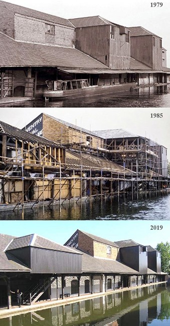
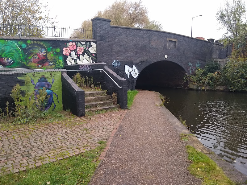
Bridge 1 was built narrow and low with no towpath, to prevent access for security. At dusk, a floating beam was locked into position just through the bridge. No boats were allowed in the basin at night.
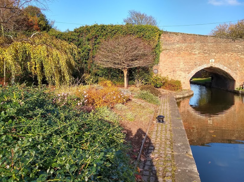
The weighbridge office once had entrances to the basin and weighbridges on both sides. The warehouses in the basin were used for grain storage for the steam mill in Wheatley Street and general foodstuffs were kept in the middle section. Cement was unloaded at the bridge end of the warehouse. Horses were led onto Leicester Row and stabled in the end of the warehouse, nearest the current ring road.
The canal office was erected in 1790 at the junction of Bishop Street, St Nicholas Street and Leicester Row, however this was demolished in the late 1950’s when the ring road was being developed.
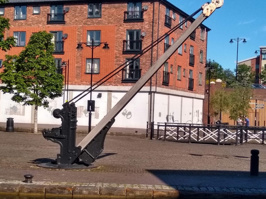
The crane which now stands in the Bishop Street basin was moved from the Drapers Fields side of the bridge. Canal House, sitting above and over Drapers Fields Bridge or Bridge 1, was originally owned by Alderman Clarke who had a canal side warehouse, brickyards and kilns in the area towards Bishopgate Green. From 1809 it was owned by Coventry Canal Company and the home of successive canal managers up to 1948 and the nationalisation of the waterways.
Going out through the bridge, on the right stood the tiny Toll House, which backed onto the curved retaining wall of the bridge. To reach his outhouse, on the other side of the canal, the toll clerk had a plank bridge, which was swivelled across the water. Circular marks remain on the stones. Beside the Toll House stood the blacksmith’s shop, ready to shoe horses setting off on their long journeys to Liverpool to load sugar, Manchester for chemicals or up the Ashby canal to collect coal from the Moira coalfield.
The stone wall on the towpath side is a reminder of the stone quarrying areas further north on the canal. Drapers Fields on the opposite side was a coal and timber wharf. So much coal fell into the canal that the Canal Company passed a byelaw preventing citizens from raking or searching for coals.
As the canal turns left there was an old canal arm of 60 yards in length. In the 1800s it was the wharf for the Coventry Cotton Factory and then the Daimler Motor Company, who took on coal for their steam driven machinery. Later these were roofed over and became Cartwrights timber yard. Timber came from Limehouse Basin in London’s dockland.
The Coventry Cotton Factory had two, three storey mills and on December 3rd, 1891 they caught fire. The insurance companies fire engines could not save the top two storeys, even with the water out of the canal. The insurance company rebuilt the buildings, but they were never used.
In 1896 a wealthy speculator, Harry Lawson gained a licence to manufacture Daimler Cars in Britain. The 13-acre site was converted into Britain’s first full scale motor manufacturing plant. The first car was made in 1897. It was a 2-cylinder, 4 horsepower Daimler, with solid tyres, tiller steering and an average speed of 10 – 11 mph. It could travel 60 miles with one change of oil. The Great Horseless Carriage Co Ltd was also set up on the site and some cars were designed and built there too before liquidation.
Superb workmanship was required and it was said that imperfect parts were dumped in the canal. In the 1920’s after a boat ran aground, the canal was dredged. Cylinder blocks and a complete chassis was removed. More recently this was the site of Coventry Climax, who built engines and were also known for forklift trucks. Coventry Climax factory filled in the old canal arm.
The site of Coventry’s first power station or “electric light works”, started in 1894, is next on the left-hand side, chosen as a site because of a plentiful supply of water and coal. The building now displays a record of the number of properties supplied increasing over several years. At one time the station supplied 5 different voltages to its customers, down to 100 volts and DC for the electric hoists in the warehouse.
From pipes carrying water over the canal, steam was generated by the City Council Refuse Department on the opposite side (now housing from 2015) and then returned to the power station. This area was in perpetual mist, so a high wall was built off Aldbourne Road. The canal water here was always warm and many learnt to swim at this spot.
On Friday December 15th, 1978, around 9 p.m. there was a breach in the Canal, around 100 m south of Cashs Lane, Bridge 2. An estimated 25 million gallons of water flooded down to Foleshill Road, the Golden Eagle public house, Eagle Street and the low-lying Springfield Road area, where it did the most damage, with houses under three feet of water. There was nothing to hold back ten miles of water up to Atherstone and another 20 miles of water on the Ashby Canal. Nothing could hold back the water in the breach until stop planks were put in at Cash’s Lane Bridge after many hours. Then a cofferdam was built across the breach and the clean-up could continue.
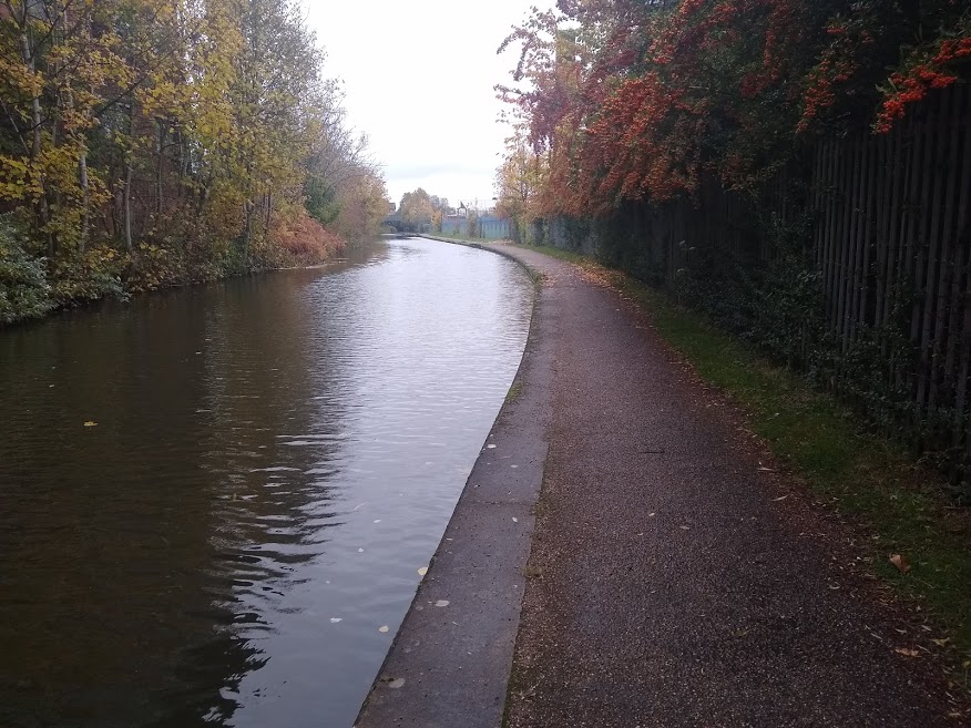
It is known that building workers had dug into the embankment of the canal, preparing for a drainage inspection chamber, just before the chimney and beside the factory building with angled roof sections. The bank now has a piled section with a concrete coping.
Cash’s Lane Bridge, number 2 was known as Honey Lane Bridge. There is a cast iron rubbing post beside it on the towpath, with deep grooves cut into it by the towing ropes of horse-drawn boats. The posts were to save the brickwork of the bridge from similar damage.
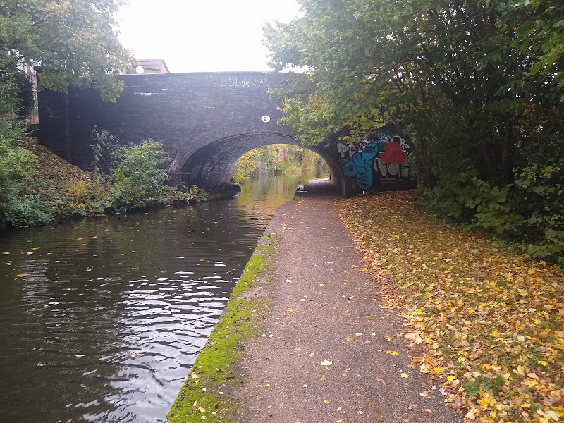
On the face of the bridge there are two filled in squares. You will see a number of these on the bridges in the City. These sections of brickwork were cut out at the beginning of the second world war and removable pieces of wood were inserted in their place. They were put there so that fireman could get their hoses through and down to the canal. On November 14th, 1940, the night of the blitz on Coventry, the water mains were all destroyed within two hours and Swanswell Pool was also drained. The Fire Service were pumping water from the canal when a bomb fell in front of Cash’s Lane causing a breach and the canal to drain.
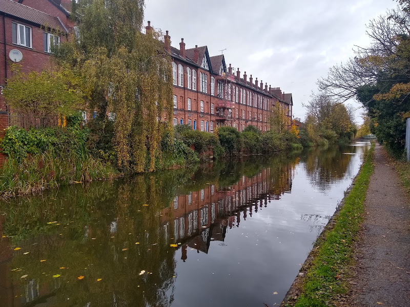
Through the bridge and high up on the left stand the row of elegant red-brick houses, with the large windows along the top storey, known as the Cash’s Hundred Houses. Only 48 were built and now only 37 remain. Joseph Cash was a firm believer in the value of the cottage industry had these houses built in 1857 so that people weaving in their own homes, could compete with power driven looms in factories. They could work in the light airy rooms above their houses. A steam engine in the courtyard worked overhead shafts, running the length of the top workshops. The engine gave trouble free service for 70 years until 1926.
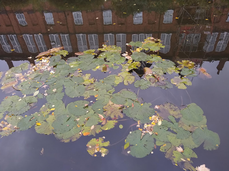
The tall chimney now reduced in height, was once 360 feet tall and on the site of the Courtaulds factory. The canal is much wider on the right-angled bend as on the left was the Courtaulds canal wharf. Boats brought coal to power the steam turbines and Cowburn and Cowpar, delivered chemicals from Manchester. Chemical waste was to the large chemical tip, just past Hawkesbury. There are still mooring rings on the high wall and men wearing harnesses would haul unpowered boats up to the cranes to load and unload.
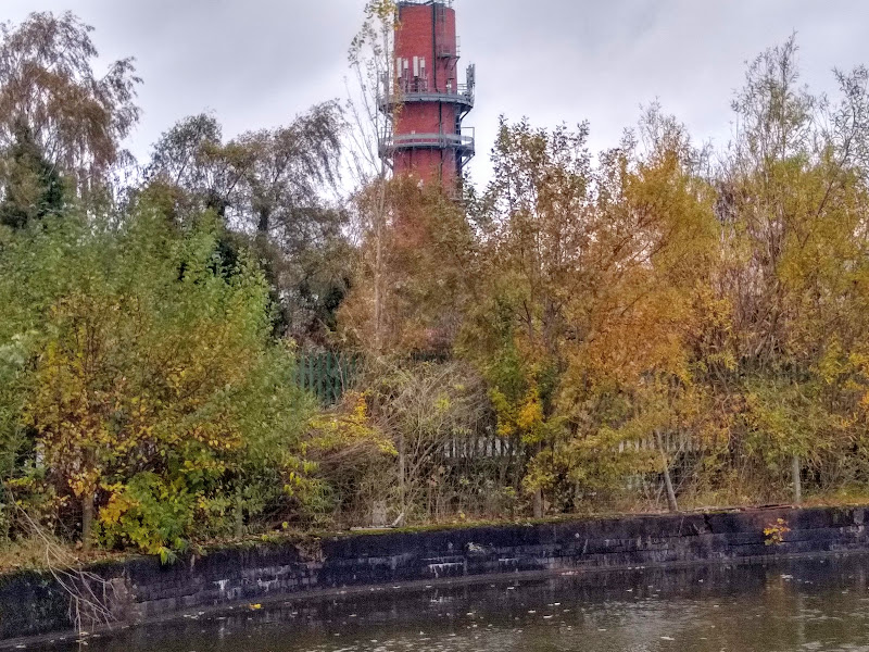
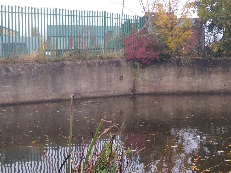
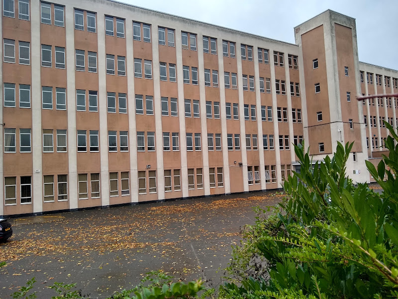
The first Courtaulds to come to Britain were Huguenot refugees from France from the 17th and 18th Century onwards. A large manufacturing empire grew from small beginnings. In 1904 they built the large Matlock road building, on the opposite side of the canal which they used for 60 years.
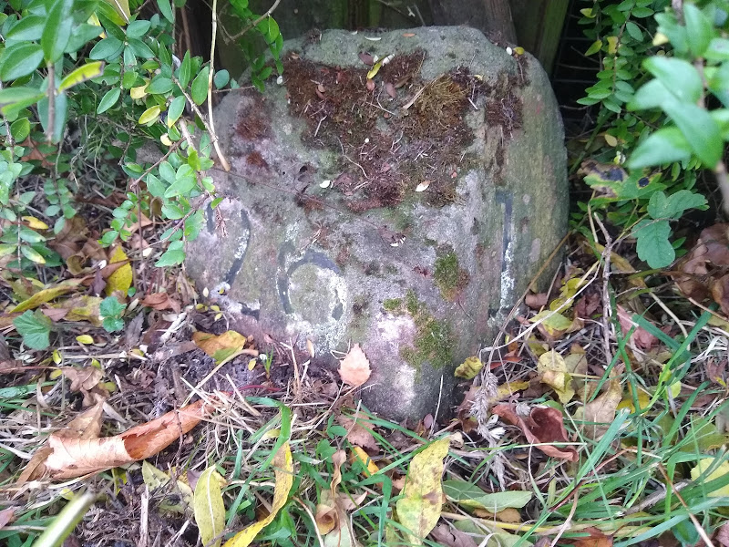
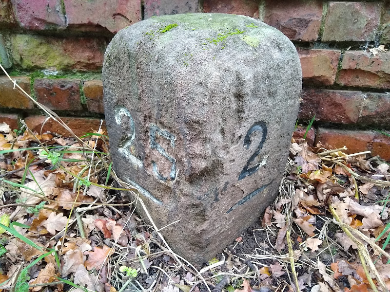
Hidden on the back of the towpath, in the bank is the first milestone, marking that distance from the Bishop Street Basin.
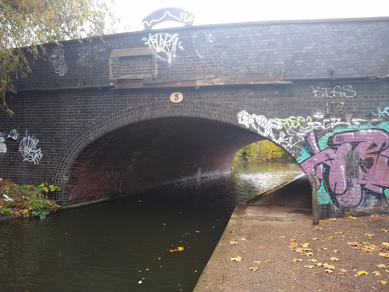
The next bridge number 3 was Prince William Henry Bridge, from the pub that once stood on the Foleshill road and is currently a builder’s yard. Just past it is the first winding hole, for turning canal boats.
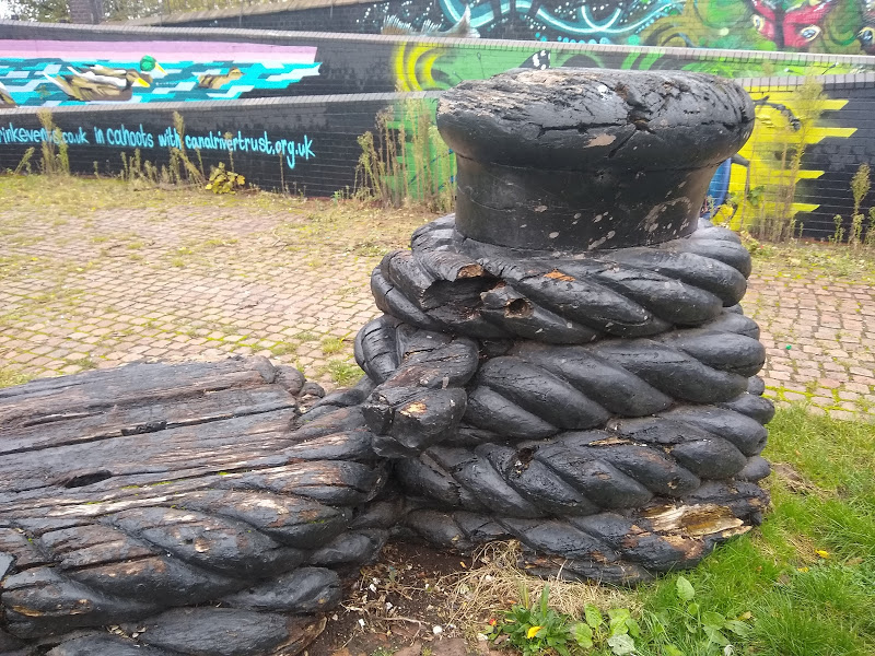
There used to be a private railway line from Foleshill along Webster’s Sidings. This carried bricks from the Webster Hemming Brickworks yard and ran along near to the canal and under the road bridge. There is still evidence of old burnt railway sleepers. In 1906 the line was extended across Stoney Stanton Road and into the Ordnance Works. In the first world war naval guns were transported on special wagons. The railway link was closed on April 8th, 1972.
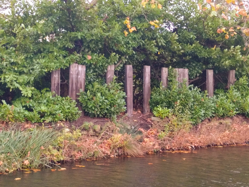
The keuper marl used for the manufacture of the bricks came from a small quarry, which was known as Webster’s Clay Hole. In August 1940, a bomb dropped on the Royal Naval Store nearby and as a result the brickworks were used for the rest of the war to store highly inflammable materials.
Through Priestley’s Bridge number 4, there are a short row of houses on Ordnance Road, on the left. These were built for the foremen who worked at the factory. In the early 1890’s a factory here supplied tubes for the Admiralty. In 1903 Charles Cammell took over this land next to the canal before he later formed Cammell- Laird, which was associated with shipping and ports. The railway line was extended up to Red Lane as the Ordnance complex grew and went through the workshop.
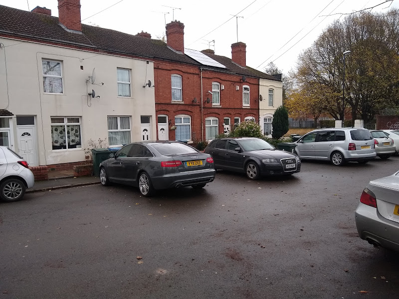
The enormous building in the background was the naval shop built in 1906. Then it was the largest workshop in Europe, at 980 feet long and 200 feet wide. In the centre were two huge lathes making the 15-inch guns during the first world war. People working at the factory and living on the other side of the canal, crossed by punt at two points. One at Freehold Street and the other at the end of a narrow passage leading to Swan Lane, just before the wharf.

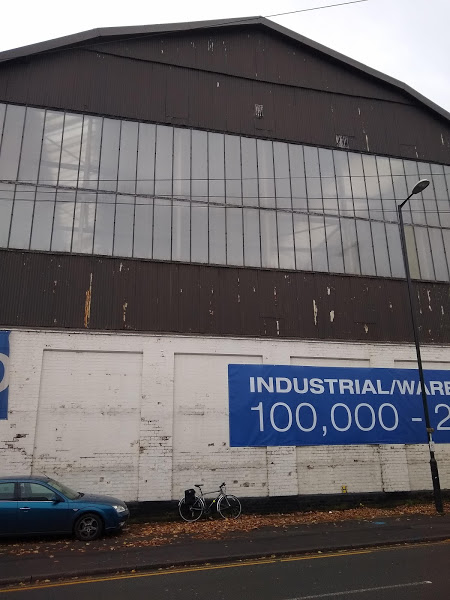
Stoke Heath wharf at two miles was used by Coventry Co-operative Dairy across the road from the basin, to operate 26 working boats, taking coal from Polesworth up until the 1920’s.
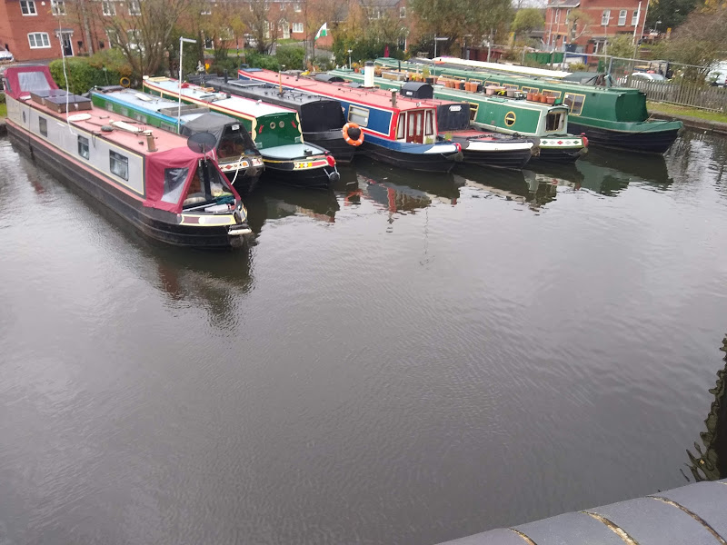
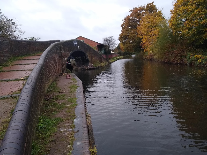
Red Lane New bridge was built in 1928 when the old one, 100 yards further on, could no longer cope with the growing volume of traffic. Red Lane Old Bridge number 5, now for pedestrians and cyclists only, is thought to be an original Brindley Bridge.
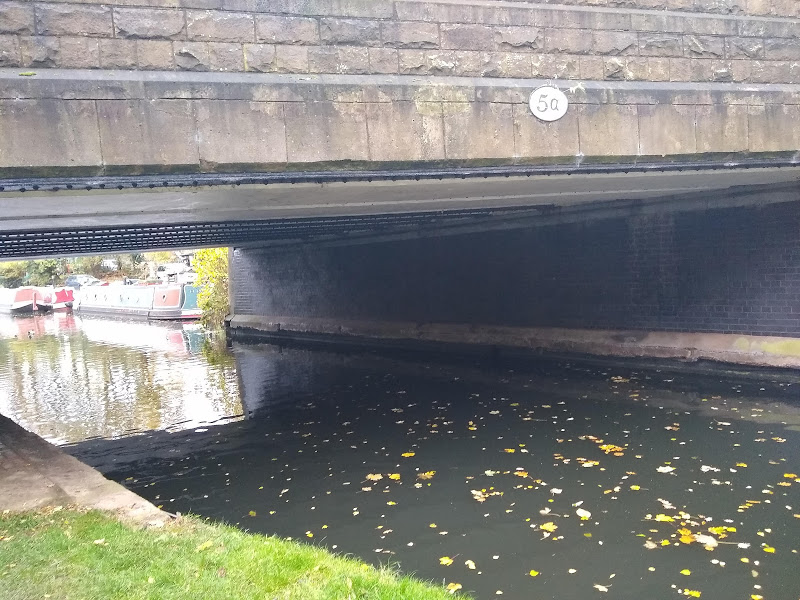
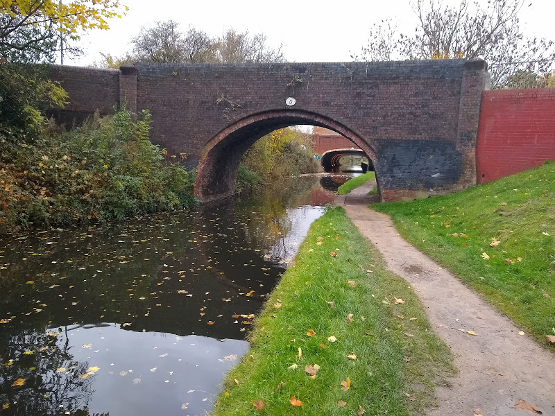
Around the area of the “tunnel” under the Red Lane link to Jimmy Hill Way used to be known as Wyken Knob. On both sides of the canal were sandpits, brickworks and lime kilns up to the Victorian times.
From here up to the Navigation Bridge number 6, there was a farm, Paradise Farm near to the towpath, later with streets called Eden Street, Adam Road as well as the Adam and Eve pub. The Navigation Pub at the bridge is no longer there.
On the left was the Alfred Herberts, Edgwick works. Coventry Loop railway line used to run along the route of the Jimmy Hill Way and cross back over the canal prior to another winding hole and then Old Church Road bridge number 7, previously known as Chapel Lane Bridge and then Little Heath Bridge. Just before this on the left was the site of Kelly’s timber wharf.
The next factory site used to be Courtaulds Acetate Ltd. This chemical factory complex used to make acetate yarns, cigarette tow for filter tips as well as acetyl and multicoloured plastics for spectacle frames. The cooling tower was demolished in 2010 and there is now housing either side of the canal.
New Inn Bridge is number 8 and where now Tesco and Ricoh Arena stand was the Foleshill Gas Works, built in 1909. A succession of canal boats delivered coal at the wharves on the left and special tar boats with covered tops took away the tar which was a by-product of gas production. It was brought by rail in special trucks to the wharf, where hot tar was pumped straight into the boats. Coke and clinker were also taken away by boat.
It was near here that the first sod was cut and construction began on the Coventry Canal in April 1768.
There is a section of overflow weir on the right-hand side at the 4-mile marker. This is where the Hall Brook passes under the canal and after ¼ mile runs into the River Sowe, as it then flows through Longford Park.
Judd’s Lane Bridge is number 9 and again this is an original Brindley bridge, now only a footpath. Coventry Colliery had a wharf just past the bridge, where there are now flats. The canal next goes over the River Sowe before reaching a footbridge from 1982.
There is a large Salem Baptist Chapel down Lady Lane. From 1769 to 1865 candidates for adult baptism were swathed in white before they baptized in the canal. In the winter of 1865, the ice had to be broken and after this a baptistry was built in the chapel grounds.
Longford Wharf was through the Grange Road Bridge number 11 on the left of the sharp bend. The canal here is wide as it was the original junction with the Oxford Canal, opened in April 1777, with a shallow lock for the 6-inch difference in levels, purportedly due to a surveying error.
From here to Hawkesbury Junction, the Oxford and Coventry Canals used to run side by side with only a narrow strip of land between them. This absurd situation was because the two companies could not agree about tolls. The present junction at Hawkesbury was opened in 1802.
The cottages on the left used to be level with the canal but are now 4 feet below due to mining subsidence.
After going under the M6 motorway the next bridge is Grange Road or Coney Bridge, number 11, a typical hump backed bridge. A footbridge was built alongside as road traffic increased. Grange Road is famous for having been the birthplace of Tom Mann 1856 – 1941, the union leader. He was born at 177 and lived there for 13 years. At the age of 9 he began work at Victoria Colliery, behind the Greyhound pub. He worked there until 1869 when the colliery closed and he moved to Birmingham.
Just before Hawkesbury the bridge across the canal was for the mineral railway to Wyken Alexandra and Wyken Old Main Pit. This also served the Longford Power Station.
Hawkesbury Junction is also known as Sutton Stop and was thus named after Richard Sutton, a local toll clerk, for the Oxford Canal company from 1807. Sephton’s Boat yard was on the left-hand side of the Coventry Canal at the Junction.
Although boats were not supposed to stop here, up to 150 narrowboats gathered at Hawkesbury at Whitsun 1947.
The bridge, designed by John Sinclair, was cast at the Brittania Foundry in Derby and erected in 1837. The Coventry Canal Company paid for this and the towpath bridge over the Oxford Canal lock.
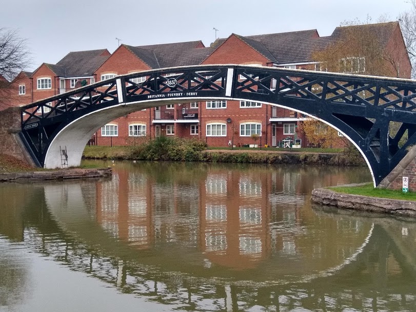
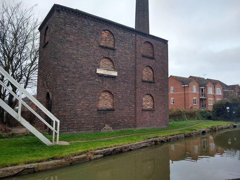
The engine house operated from 1821 pumping water from wells up into the canal. The original well was only 17 feet but by 1904 it had deepened to 99 feet in search of water and was thought to be the deepest well in Warwickshire. By 1913 water supplies were more easily available elsewhere along the canal and the engine seldom functioned after this date.